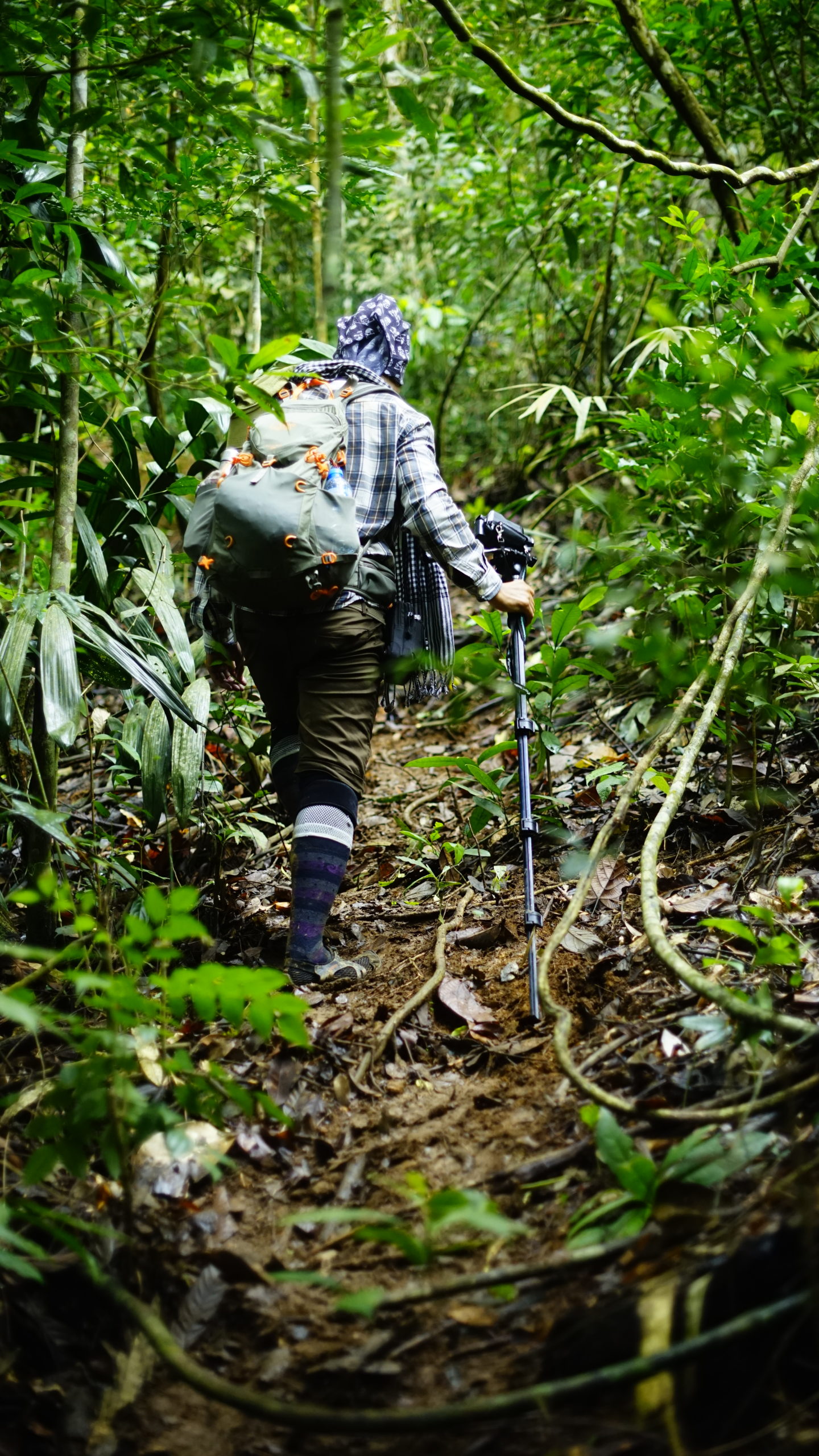
With a total 26km trail of trekking, Ta Dung Summit is an ultimate challenge for trekker with steep slope up and down. Ocassionly in the rainy season, this trail is slippery with heavy rain caused a dangerous stream when passing by.
Overview
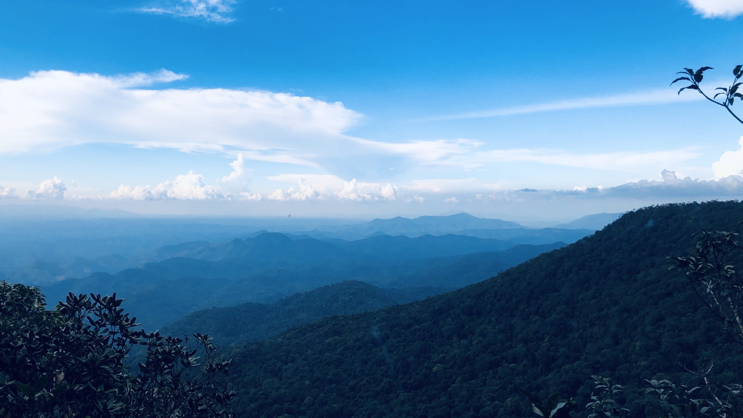
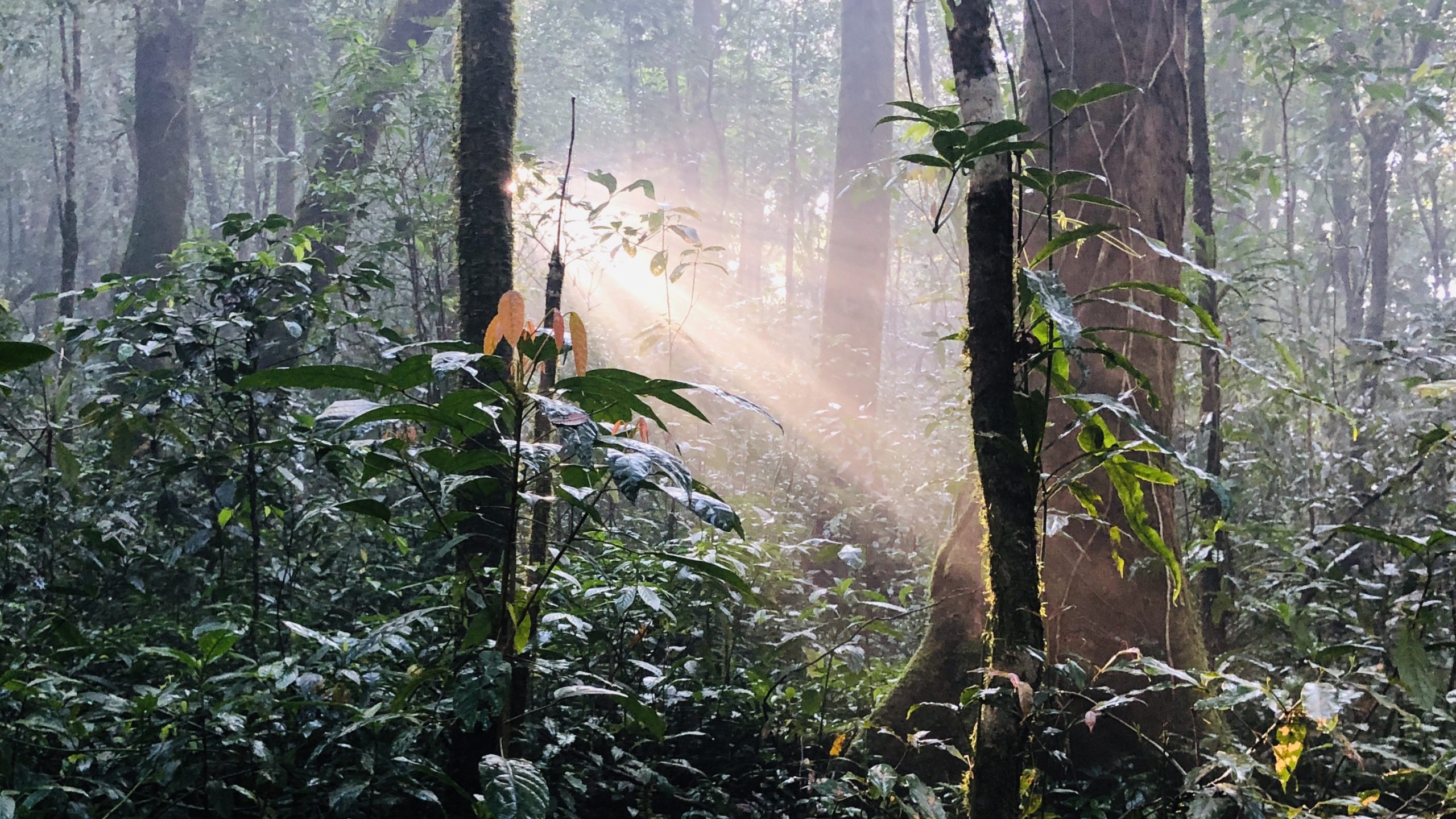
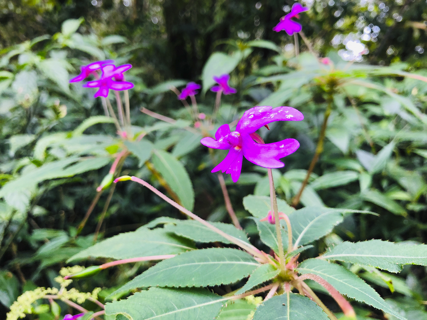
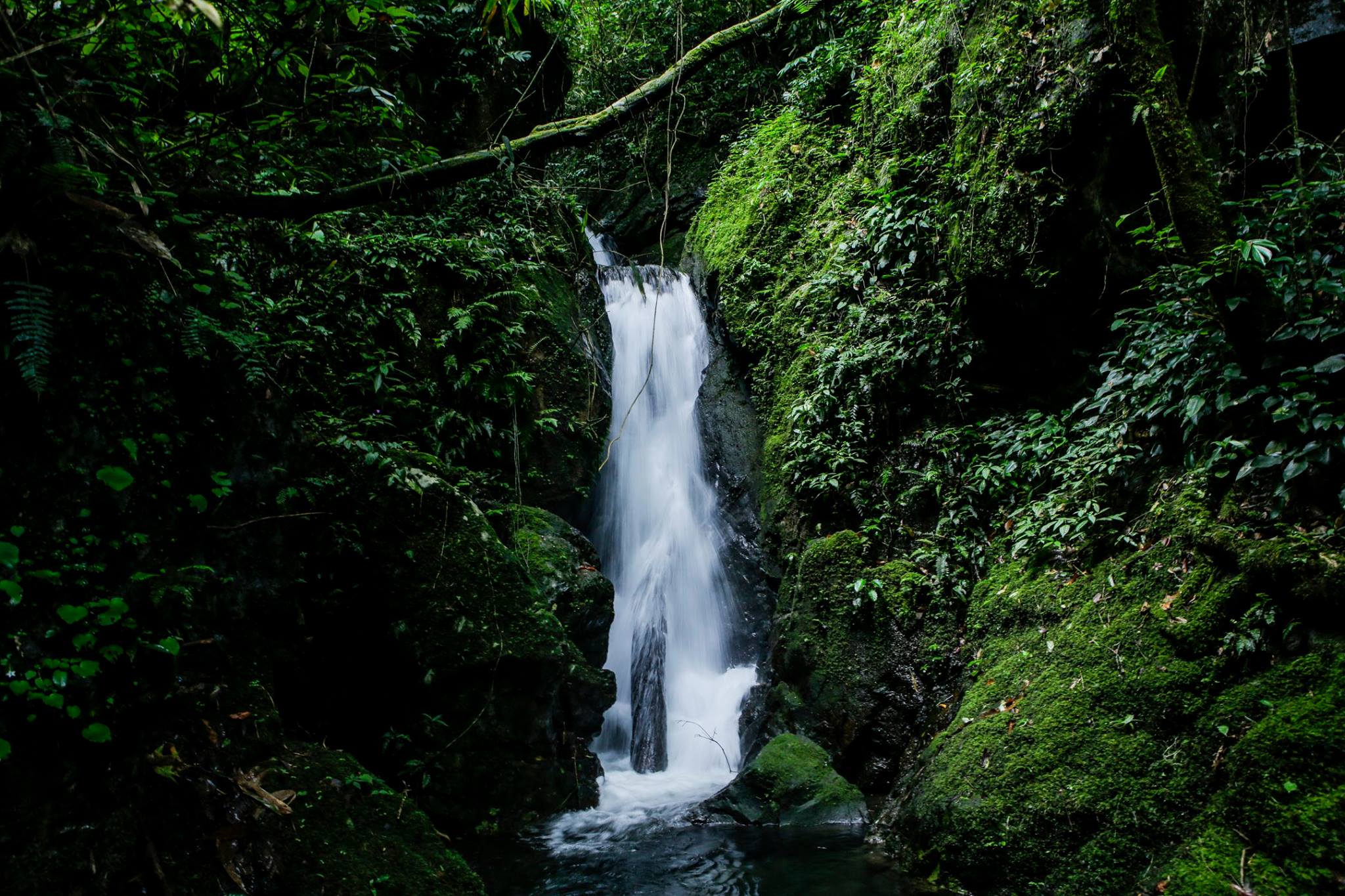
<p style="text-align: center">Ta Dung National Park is bounded by Central Highland of Dak Nong and Di Linh Highland, a sierra forest with average height from 1.200 – 1.500 meter, with the Ta Dung mountain peak to 1.982 meter. Ta Dung National Park is located in an essential area about economy and ensuring environmental security zone, carbon absorption and storage, greenhouse gas emissions reduction, protection and maintenance of the ecologically environmental balance of the whole area. This park is also headwater of Dong Nai and Krong No – Serepok river, including protective forest, regulation, domestic water supply, industrial-agricultural production, electric industry,etc…for the lower of Dong Nai and Serepok river. Thus, it is regarded as the green lung of Dak Nong province. With the distinctive features of moist tropical evergreen forest in low mountains, Ta Dung National Park is standard specimens of rare virgin forest ecosystem of the highlands, with endemic and rare genes of flora and fauna only in the Highlands. Ta Dung National Park is covered 85% an area of core by a large forest vegetation.</p>

